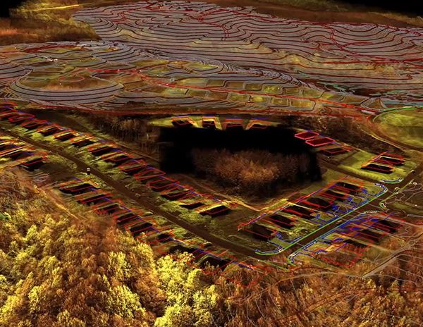
Topo Mapping

What is topography feature extraction and what is it used for?

Topography feature extraction is the process of using specialized software tools to extract specific features from point cloud data collected by laser scanners or other surveying methods.

ArenaCAD is a proud TopoDOT user, which we use to automate the extraction of features such as topography break lines, road surfaces, bare earth, buildings, bridges, and other structural 3D models. TopoDOT provides a highly productive process for managing data, assessing quality, and extracting CAD and GIS products that exceed our clients` requirements and expectations.

Get in touch today!

    What are topographic plans and why are they important?

    Topographic plans are drawings that represent the main physical characteristics of a terrain (buildings, fences, roads, rivers, lakes, forests, and green spaces, etc.), as well as variations in elevation between verticals or forms of relief. Topographic plans are useful for architects and civil engineers to make the best decisions regarding project design and coordination. Additionally, topo plans are documents that can establish the boundaries of a property.

    In this sense, topographic feature extraction is essential for planning and making decisions regarding the development of a site, planning new buildings, repositioning existing boundaries, or designing drainage systems. Additionally, topographic plans help you save considerable time and, because they provide accurate data, reduce the risk of costly errors.

    Topographic feature extraction can be used for asset management and road rehabilitation by providing accurate and detailed information about the condition of roadways and their surrounding features. This information can be used to assess the condition of the road and identify areas that require maintenance or repair. For example, topographic feature extraction can be used to identify road condition, or other defects in the road surface, as well as to measure the depth and width of these defects. This information can then be used to prioritize repairs and allocate resources more effectively. Additionally, topographic feature extraction can be used to identify and map the location of roadside assets, such as signs, signals, and barriers, making it easier to manage these assets and plan for their maintenance and replacement.

    Our feature extraction services include:

    Road, path, track features – Top of curb, Back of curb, Carriageway edge, Driveways, Verge edge, Back edge of footway, Drop kerbs, Change of surface material (hard detail), Change of surface material (soft detail), Crash barriers, Pedestrian barriers, Pedestrian ramps, Pedestrian /pelican /puffin /toucan x-ing, Road channel, Speed humps/ tables, Traffic islands

    Permanent building structure – Buildings/structures footprints, Building/structures wall and plinth lines, Foundations (where visible), Archways, underpasses, Drainage structure/culverts

    Visible boundary features (wall, fence)- Fence footprint line, Fence height line, Gates, Railings, Vegetation hedge, Retaining walls, Wall footprint line, Wall top line

    Street furniture – Bollards, Bus stops, Bus shelters, Barriers, Guardrails/w-beam, Belisha beacons, Benches, Cycle racks/docking points, Cellar hatchers, coal holes, Flagpoles, Litter bins, Hoardings, Grit bins, Mile posts, Name plates, Pavement lights, Planters, Playground apparatus, Post boxes/different posts, Road signs, Sign posts/boards, Ticket machines, Through
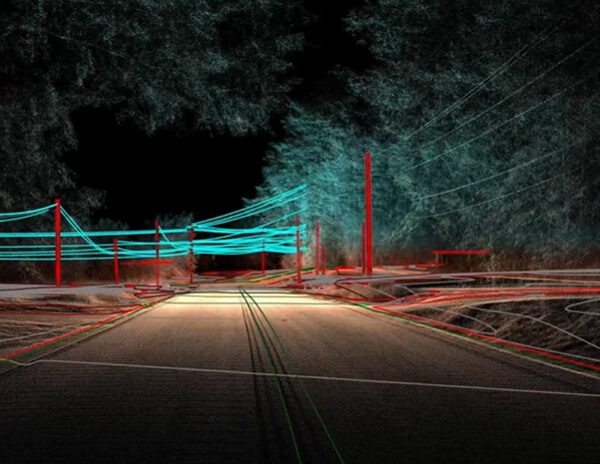
    Utility and covers – Aerials, Masts, Valves, Cabinets/junction boxes, Drainage channels, Electricity inspection covers, Electricity poles, Fire hydrants, Gas inspection covers, Gullies, Gullies with level, Inspection covers/manholes, Inspection covers/manholes with levels, Undefined services, Inspection pits, Bridge over, bridge under, Expansion joint, Overhead features, capies, porches, Ramps, loading bays, Ruins, Steps (generalized), Steps (individual)

    Temporary building structure – Mobile buildings, Temporary buildings or structures, Overhead features, capies, porches, Awnings, Garden sheds, greenhouses

    Earth works – Banks top, Banks bottom, Gabions, Terraces, Mounds, spoil heaps, Sloping masonry, top, Sloping masonry, bottom, Quarries and pit workings, Kerb outlets, Lamp posts/flood lights, Marker posts, Overhead pipes, Overhead wires/powerlines, Pipes (min. diameter/width 0.1 m), Poles stay wire, Pylons, Rain water down pipes, Surveillance/CCTV cameras, Taps, stand pipes, Telecoms inspection covers, Telegraph poles, Telephone call boxes, Traffic signals, Water inspection covers.

    • And others.

    Why choose ArenaCAD for your topographic feature extraction needs?

    Enhance Quality and Reliability: Our team, with a background in TopoDOT’s European Customer Service department, brings world-class experience to your projects. With specialized training and management of diverse projects across multiple countries such as the US, Canada, Australia, Germany, UK, Ireland, New Zealand, we prioritize delivering top-notch results.

    Increase Efficiency and Productivity: Leave the point cloud processing to us and focus on scaling your business. Our regular communication keeps you up-to-date on project progress, and our transparent pricing ensures that you can accurately estimate costs when bidding on new jobs.

    Mitigate Risks and Costs: Save on both the search and management expenses needed to find point cloud processing specialists. We have all the people you need. Plus, with our pay-as-you-go model, you only pay for completed work, eliminating overhead labor expenses.

    Access to Expertise and Software: Our team possesses the necessary software and expertise to handle any project so you don`t need to purchase or train on expensive new software. We maintain relationships with several custom software companies to ensure we stay up-to-date with the latest tools and techniques.

      DOWNLOAD FREE White Paper