Enhancing Urban Planning: The Value of Topographical Plans in the Republicii Street Project, Rupea, Romania
In the realm of urban planning, the importance of accurate and detailed information cannot be overstated. As cities evolve, it becomes essential to consider the needs of different modes of transportation, such as pedestrians, motorists, and increasingly, cyclists. The Republicii Street project in Rupea, Romania, recently undertook a feasibility study for the construction of bicycle lanes on this key thoroughfare. This blog post explores the invaluable role played by topographical plans, particularly those derived from 3D scanning, in making informed decisions.
The Challenge:
Republicii Street spans approximately 4 kilometers, cutting through a rural area with numerous features and intricate details. To undertake a comprehensive analysis for the proposed bicycle lanes, a deep understanding of the street’s topography was required. Traditional surveying methods would have been time-consuming, costly, and may not have captured every crucial detail.
The Solution: 3D Scanning and Topographical Plans
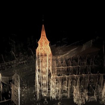
To overcome these challenges, our team employed cutting-edge technology in the form of 3D laser scanning using Terrestrial Laser Scanners (TLS). Two Faro scanners were deployed to capture every essential aspect of Republicii Street, creating point clouds. These point clouds provided a detailed representation of the street’s physical environment, including its buildings, structures, and the intricate nuances of the road surface.
The Scanning Process
The TLS scanning process, spanning approximately 26 hours, meticulously recorded the Republicii Street surroundings. The scanners captured millions of points, resulting in a highly accurate and comprehensive representation of the area. This massive amount of data formed the foundation for creating the subsequent topographical plans.
Extracting Horizontal and Vertical Elements
Once the scanning phase was complete, our team embarked on processing the point clouds using the TopoDOT software. Over a period of approximately 92 hours, they extracted horizontal and vertical elements from the point clouds. This data extraction process involved identifying and analyzing key features, such as curbs, sidewalks, and road edges. The result was a detailed and precise 3D topographical plan that showcased the varying elevations along Republicii Street.
Informing Decision-Making
The 3D topographical plans played a crucial role in the project’s feasibility study, particularly regarding the placement of bicycle lanes. By visually analyzing the contour lines and elevations, the client gained a deep understanding of the street’s topography. The accuracy and comprehensiveness of the topographical plans allowed for a thorough evaluation of the project’s feasibility, ensuring that the final solution would cater to the needs of cyclists while integrating harmoniously with the existing urban environment.
The Value of Topographical Plans
The Republicii Street project in Rupea, Romania, exemplifies the immense value of topographical plans derived from 3D scanning. By capturing every crucial detail of the urban environment, our team obtained an accurate and comprehensive representation of the street. The project showcased the power of cutting-edge technology in urban planning, ensuring that the resulting infrastructure aligns with the needs of the community while considering the intricacies of the surrounding environment. As cities continue to evolve, embracing topographical plans derived from 3D scanning will undoubtedly play a pivotal role in shaping efficient, sustainable, and user-friendly urban spaces.
- On June 29, 2023